Lake Mattamuskeet is the largest natural lake in North Carolina. It is a shallow body of water averaging only two feet in depth. It is 18 miles long, 5 to 6 miles wide, and contains about 40,000 acres.
"Mattamuskeet" - the rhythmic softness of the Indian name meaning "dry dust" recalls the days when the Mattamuskeet tribe of the Algonquin Indians silently hunted the forest that once grew where Lake Mattamuskeet now lies. Explaining the origin of the lake, some say fires burning deep into the peat soil formed the lake. Another account describes Mattamuskeet Lake and other nearby smaller lakes as being scoured out by a shower of meteors that struck the Carolina coastal plain.
The modern history of Mattamuskeet has been a troubled one. The flat plain between the Albemarle Sound and the Pamlico Sound is dominated by extensive swamps, wet savannahs and low pinelands. The limited agricultural areas, generally restricted to ridgelands where suitable drainage is possible, produce corn, soybeans, small grains and truck crops. On the whole, this country has too much rather than too little water, and the idea of draining Lake Mattamuskeet intrigued people for some time. Large scale drainage operations aimed at converting the lake bottom to farmland began in 1914. Patterned after similar projects in Holland, this community was named New Holland. A network of canals was dug, a pumping plant and model community built, only to eventually be abandoned as impractical and too expensive. In 1934 the land was acquired by the United States Government and a waterfowl sanctuary, Mattamuskeet National Wildlife Refuge, was established. The Civilian Conservation Corps converted the former pumping station into a lodge.Mattamuskeet Lodge was placed on the National Historic Register in 1980.
Boating and sport fishing for largemouth bass, striped bass, catfish, bream and other species is permitted on Lake Mattamuskeet and adjacent canals from March 1 through November 1, or as otherwise designated. Fishing for bass, catfish and bream is excellent in the canals and along the lake shore in the spring and fall. herring dipping and blue crab fishing at the water control structures is a very popular sport enjoyed by all age groups. herring dipping is permitted from March 1 to May 15 and crab fishing is permitted year-round from the water control structures. All fishing oriented activities must be conducted in accordance with state regulations. Bow fishing for carp and other rough-fish is permitted during the fishing season.
The Fairfield Heritage Bass Tournament, held every Memorial Day weekend, offers bass enthusiasts a chance to hone their bass fishing skills as they compete for prizes.
State fishing license requirements apply. General fishing regulations as well as special regulations governing fishing on wildlife refuge areas are codified in Title 50, Code of Federal Regulations, Part 32.
LOCATION
Eastern North Carolina.
On mainland Hyde County
NC Highway 264 is the east/west main thoroughfare, with access from the North via NC Highways 45 & 94. Refuge entrance is on Hwy 94, approximately 1 mile North of the intersection of Hwys 264 & 94.
Ferry service (schedule) available from Ocracoke Island to Swan Quarter on the mainland.
Further information is available from:
REFUGE MANAGER
MATTAMUSKEET NATIONAL WILDLIFE REFUGE
ROUTE 1 BOX N-2
SWAN QUARTER, NC 27885
PH:926-4021
Is this your business? Update your listing by messaging us

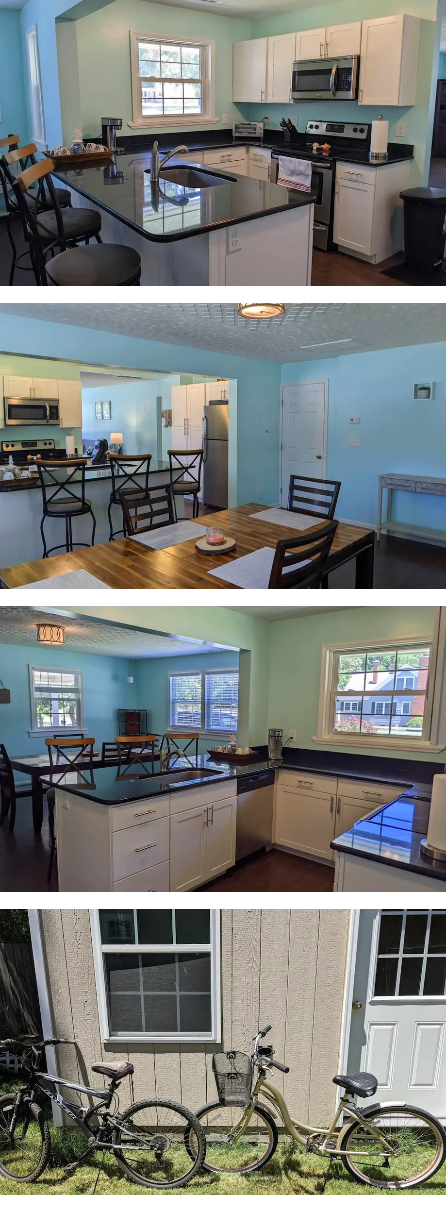
Bring your whole family to this roomy three bedroom home with plenty of off street parking. You are a few blocks away from Lawson Creek Park with plenty of public boat launches. You are also a short bicycle ride to downtown where you can experience...
- New Bern
- 4 Bedrooms
- 2 Bathrooms
- Sleeps 8